
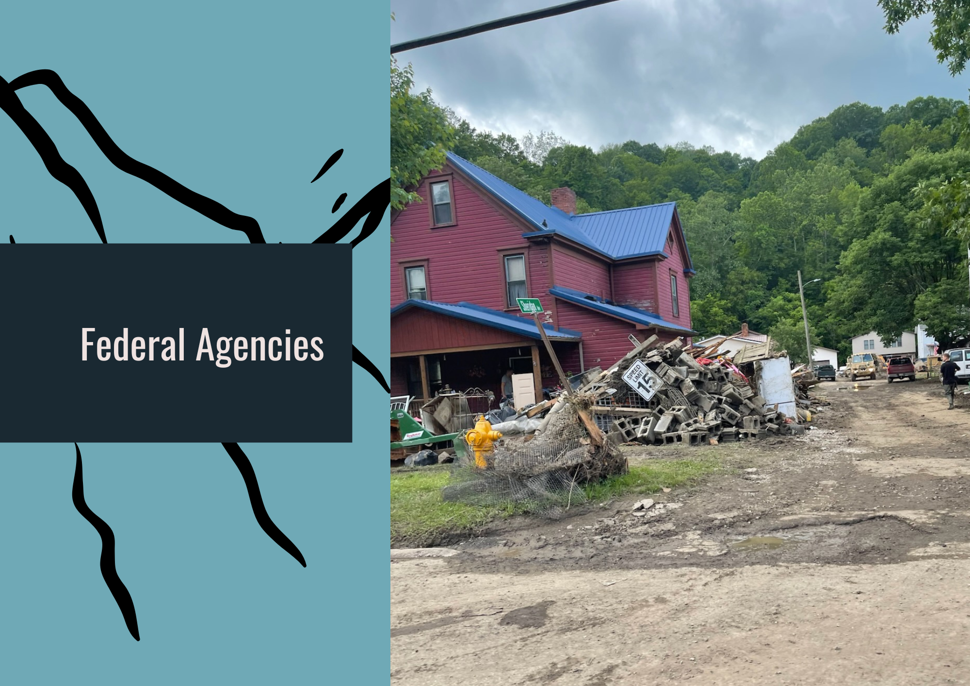
There are many federal programs that are or can be related to building flood resilience and recovery. Below is not an all-inclusive list but a list of the programs that, at this time, we have identified as most relevant to our policy platform.
Federal Emergency Management Agency (FEMA)
Building Resilient Infrastructure and Communities (BRIC): Provides grants to states, local governments, tribes, and territories for projects that reduce risks from natural hazards. Following an attempted termination in 2025, FEMA resumed the program’s funding process in 2026. Funding priorities and application requirements are established through individual grant announcements.
Community Rating System (CRS): A voluntary NFIP program that recognizes community floodplain management activities exceeding minimum requirements. Participating communities can earn flood insurance premium discounts for policyholders through activities such as public education, mapping, and flood-risk reduction.
Disaster Case Management (DCM): Supports case managers who help disaster-affected individuals and families identify unmet needs, develop recovery plans, and connect with available resources. Assistance is coordinated through eligible governments and organizations.
Flood Mitigation Assistance (FMA): Provides grants to reduce or eliminate flood damage to buildings insured through the National Flood Insurance Program. Eligible activities can include property acquisition, elevation, and other flood mitigation measures.
Hazard Mitigation Grant Program (HMGP): Provides funding following a presidential major disaster declaration to help states, tribes, territories, and local communities reduce future disaster losses. Projects can include voluntary property buyouts, elevations, slope stabilization, and mitigation planning.
Individual Assistance (IA): Includes several programs that support eligible disaster survivors when Individual Assistance is authorized for their area. Support may include housing assistance, help with other disaster-related needs, case management, crisis counseling, and legal services.
Individuals and Households Program (IHP): A component of Individual Assistance that provides financial assistance and direct services to eligible households with uninsured or underinsured disaster-related needs. It helps meet basic needs and restore safe living conditions, but does not compensate survivors for every loss.
National Flood Insurance Program (NFIP): Provides flood insurance for eligible property owners, renters, and businesses in participating communities. Participating communities adopt and enforce floodplain management requirements intended to reduce future flood damage.
Public Assistance (PA): Provides grants to eligible governments and certain private nonprofit organizations for disaster-related debris removal, emergency protective measures, and restoration of damaged public facilities and infrastructure. The program generally operates through cost-sharing and reimbursement, which can create financial challenges for communities with limited reserves.
Resilience Analysis and Planning Tool (RAPT): Combines information about hazards, infrastructure, and population characteristics to support emergency planning. Users can also incorporate local data to better understand community needs and potential vulnerabilities.
Risk Mapping, Assessment, and Planning (Risk MAP): Works with communities to develop flood hazard maps, risk assessments, and planning resources. Its products help communities understand flood exposure and identify actions to reduce future losses.
National Oceanic and Atmospheric Administration (NOAA)
NOAA Atlas 15: An updated national precipitation-frequency resource under development that incorporates changing precipitation patterns and future conditions. Its estimates can inform flood mapping, culvert sizing, stormwater standards, infrastructure design, and hazard mitigation planning.
National Water Prediction Service (NWPS): A National Weather Service resource providing water observations, river forecasts, and flood information. It helps emergency managers and residents monitor changing conditions and prepare for potential flooding.
Office of Surface Mining Reclamation and Enforcement (OSMRE)
Appalachian Regional Reforestation Initiative (ARRI): A partnership among federal and state agencies, scientists, landowners, nonprofits, and industry that promotes reforestation of mined lands. ARRI advances the Forestry Reclamation Approach, which supports native forest recovery by improving growing conditions, reducing soil compaction, and helping restore ecological and hydrologic functions.
U.S. Army Corps of Engineers (USACE)
Planning Assistance to States (PAS): Provides planning and technical assistance to eligible partners for the development, use, and conservation of water and related land resources. Assistance can support flood-risk management and watershed planning, but the program does not fund project construction.
Silver Jackets: State-led interagency teams that bring together federal, state, and local partners to address flood risks. Teams coordinate expertise, data, and resources around state-identified priorities, helping communities identify assistance gaps and advance flood-risk reduction.
U.S. Department of Agriculture (USDA)
Emergency Watershed Protection Program (EWP): Provides financial and technical assistance through eligible local sponsors to address threats to life and property caused by disasters that damage watersheds. Work can include debris removal, streambank protection, and other emergency watershed measures. A presidential disaster declaration is not required.
Conservation Stewardship Program (CSP): Helps agricultural producers maintain and improve conservation practices across their operations. Practices that improve soil health, vegetation, and water management can also reduce runoff and erosion.
Environmental Quality Incentives Program (EQIP): Provides financial and technical assistance to agricultural producers for conservation practices addressing natural resource concerns. Supported practices can improve soil health, protect water quality, and help agricultural landscapes manage rainfall.
Regional Conservation Partnership Program (RCPP): Supports partnerships that coordinate conservation projects across farms, watersheds, and other landscapes. Projects can address challenges such as water quality, habitat loss, soil degradation, and watershed resilience.
Single Family Housing Disaster Assistance Fund Program: Provides disaster-related home-repair assistance for eligible low-income homeowners in rural areas. Eligibility, covered disasters, funding, and application periods depend on the applicable program announcement. This assistance can help address repair needs that other recovery resources do not fully cover.
U.S. Department of Housing and Urban Development (HUD)
Community Development Block Grant–Disaster Recovery (CDBG-DR): Supports long-term recovery needs that other assistance does not fully address, including housing rehabilitation and construction, infrastructure, and economic recovery. Funds can help communities rebuild more safely and primarily benefit low- and moderate-income people. Congress provides funding through appropriations, and HUD allocates funds and establishes applicable requirements.
U.S. Environmental Protection Agency (EPA)
Drinking Water System Infrastructure Resilience and Sustainability Program: Supports eligible small, underserved, and disadvantaged public water systems in reducing their vulnerability to natural hazards. Projects can help strengthen infrastructure and maintain drinking water service during extreme weather and disasters.
Midsize and Large Drinking Water System Infrastructure Resilience and Sustainability Program: Supports resilience improvements for eligible larger public water systems. The program helps utilities prepare for natural hazards and reduce the risk of disruptions to essential drinking water services.
U.S. Geological Survey (USGS)
National Streamflow Network: A nationwide network of streamgages operated through federal funding and partnerships with state, tribal, regional, and local organizations. Its observations support flood forecasting, emergency response, water management, and long-term analysis of river conditions.
Federal Priority Streamgages (FPS) Network: A component of the broader streamgage network focused on locations that serve federal water-information needs. These stations provide information important to forecasting, water management, and protection of lives and property.
Cooperative Matching Funds: Supports water monitoring and investigations through partnerships between USGS and state, tribal, and local organizations. These partnerships help maintain streamgages and produce information communities use to understand and manage flood risks.
Cooperative Landslide Hazard Mapping and Assessment Program: Provides assistance to eligible state, local, tribal, and territorial governments for landslide mapping, assessment, education, and data collection. Its work can help Appalachian communities identify vulnerable slopes and incorporate landslide hazards into planning.