Flood Resilience in Ohio
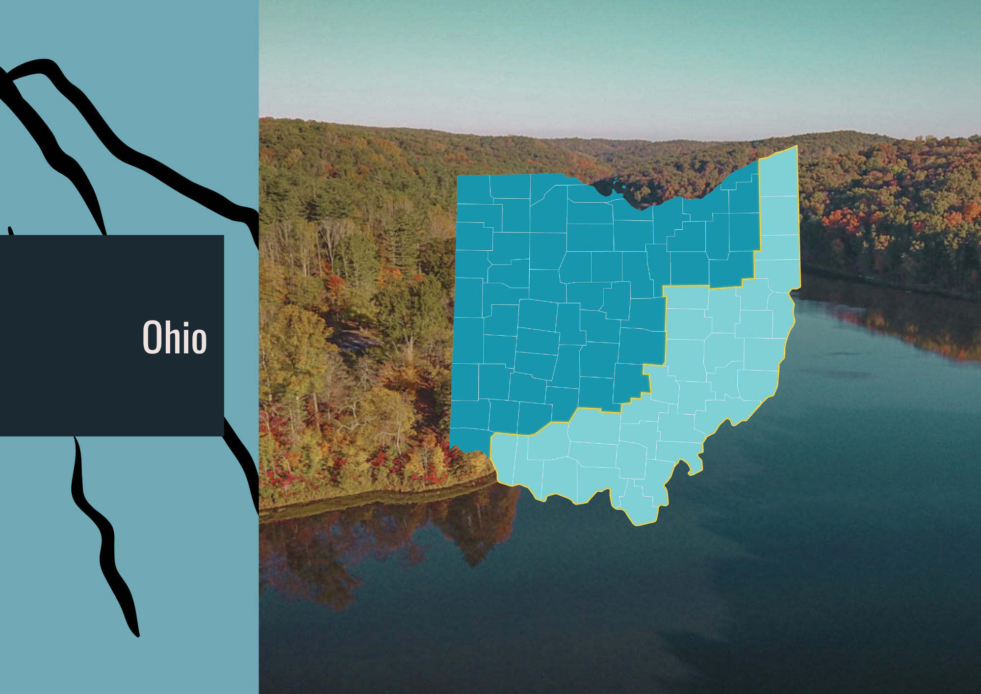
Appalachian Ohio’s communities have endured repeated floods while working to protect homes, maintain essential services, and strengthen local economies. Along the Ohio River and tributaries such as the Hocking and Muskingum, communities face both rising river levels and sudden flooding along smaller streams. Roads, businesses, and neighborhoods occupy river valleys and low-lying areas, where flooding can disrupt transportation and leave residents cut off from work, schools, and medical care.
Recovery in Appalachian Ohio extends beyond repairing damaged homes. Floods can wash out township roads, damage bridges and culverts, and interrupt water and wastewater services, placing substantial demands on villages, townships, and counties with limited resources. Families need affordable options to repair, rebuild, or relocate, while local governments must restore access and essential services. Supporting both household recovery and public infrastructure is necessary to help residents remain safely in their communities.
The region’s history of coal mining also shapes the work of restoring its waterways. In watersheds such as Sunday Creek and Monday Creek, local organizations have worked to address abandoned mine drainage and improve stream health. Building on these partnerships offers opportunities to connect clean water, floodplain restoration, and community preparedness. Sustained investment in local expertise, healthier watersheds, and resilient infrastructure can help Appalachian Ohio communities recover and reduce future flood losses.
Flooding in Ohio - At a Glance
ADD DATA
Recent Floods and Recovery Challenges
April 2024: Damage across eastern Ohio
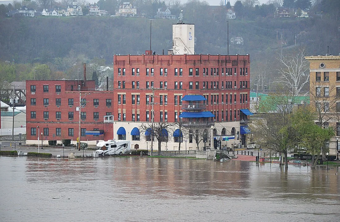
Flooding and severe storms affected Belmont, Guernsey, Jefferson, Meigs, Monroe, Morgan, Noble, and Washington counties. Recovery needs included debris removal and repairs to roads, bridges, public buildings, water lines, and a wastewater treatment plant, illustrating how flooding can disrupt multiple essential services at once.
August 2026: Flash flooding across southeastern Ohio
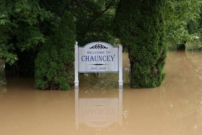
Flooding affected Athens and neighboring counties, including communities along Sunday Creek and the Hocking River. Glouster, Trimble, and Athens experienced flooded roads and community facilities, while responders assisted with evacuations elsewhere in the region. Phone outages in Perry County required Athens County dispatchers to help handle emergency calls, demonstrating the importance of backup communications and regional coordination.
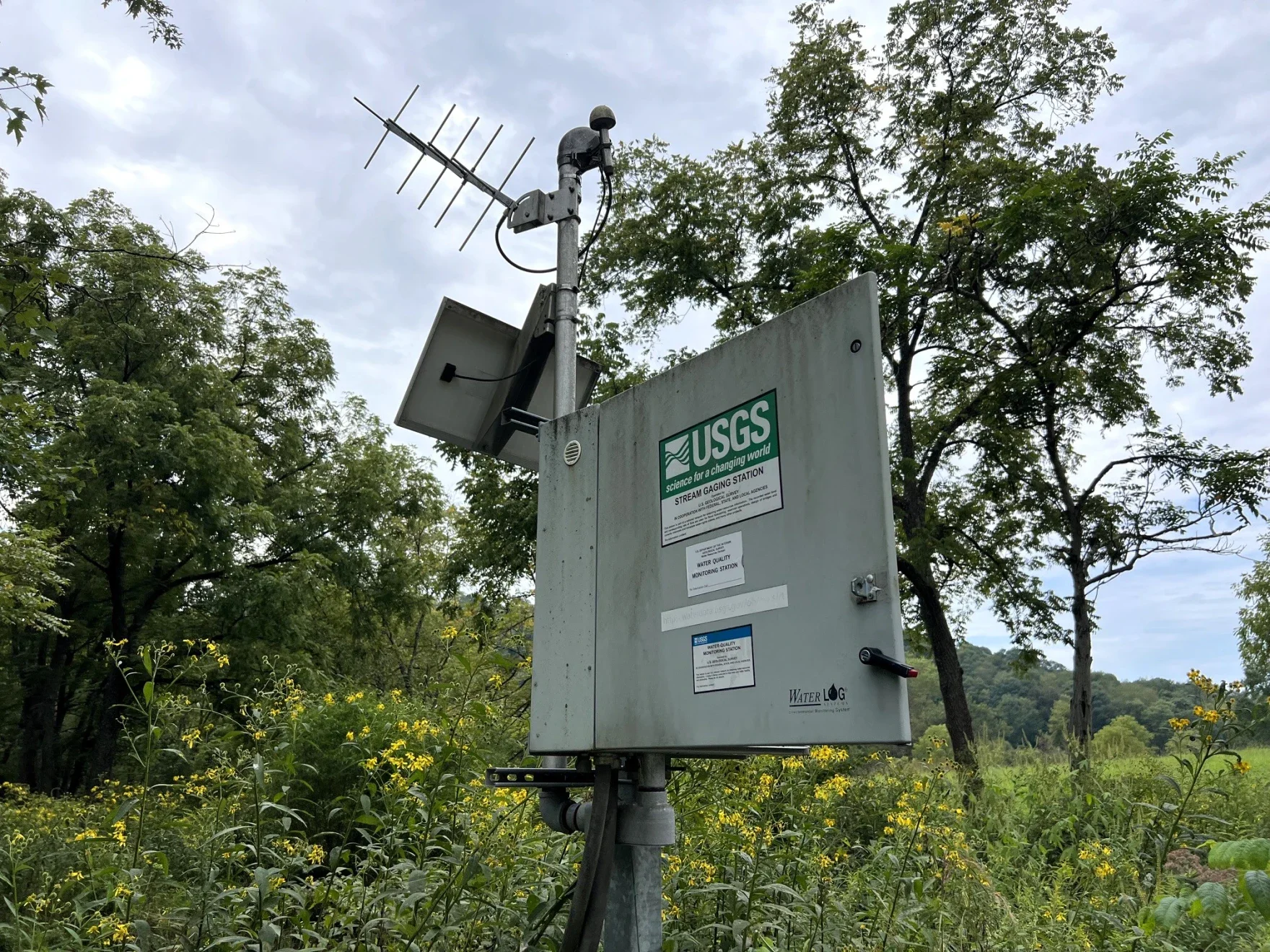
Credit: Erin Gottsacker/The Ohio Newsroom
A USGS streamgage in Harrison County measures the water level, flow and temperature of a local creek.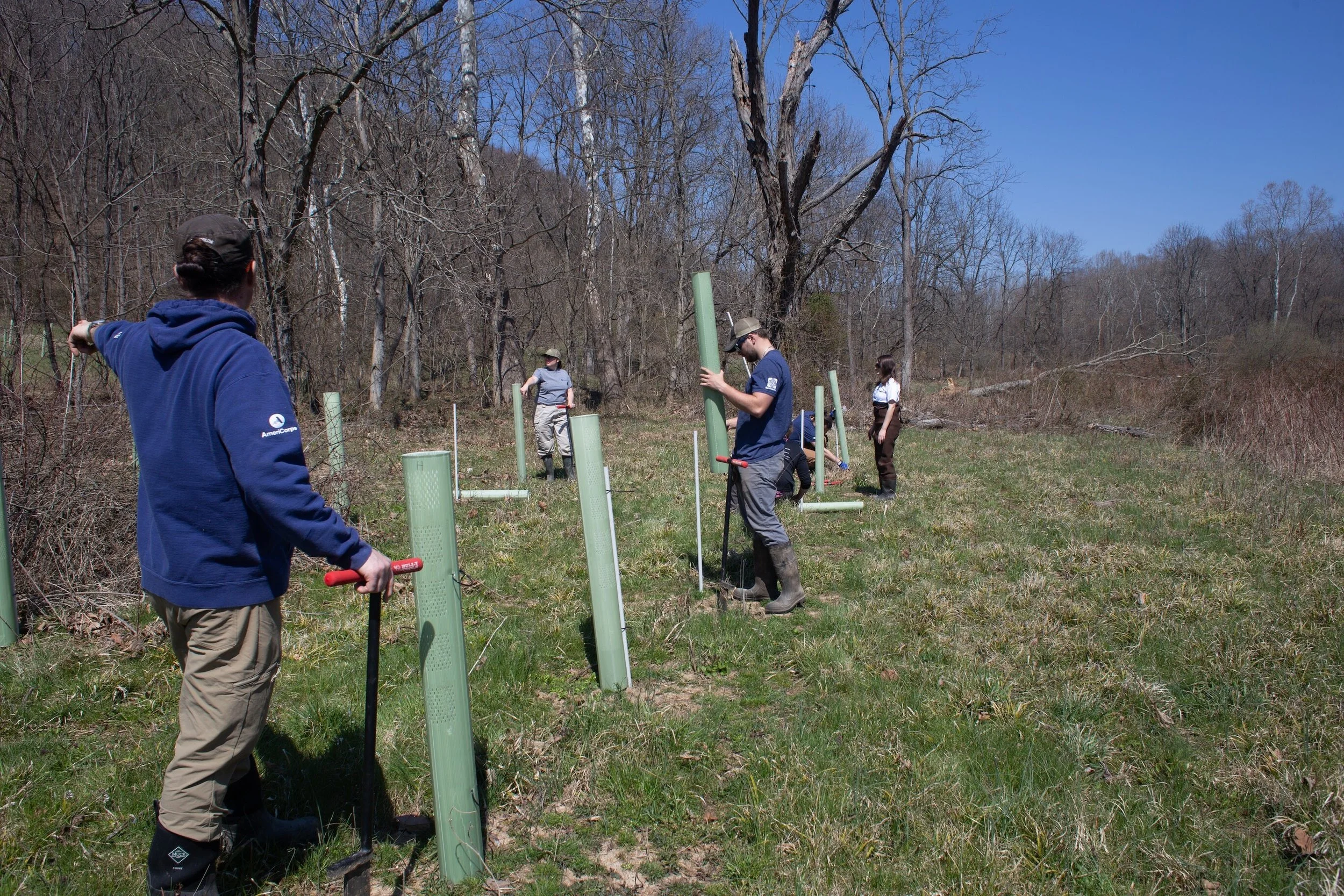
Credit: Rural Action
Rural Action’s watershed team supporting habitat restoration through native tree plantings.Putting Our Platform to Work in Ohio
Increase Local and State Capacity to Respond and Recover
Ohio EMA helps local governments develop hazard mitigation plans and prepare funding applications, while the State Disaster Relief Program can help eligible communities cover disaster-related costs when activated. For Appalachian Ohio’s villages, townships, and counties, turning this assistance into completed projects requires staff and technical expertise. Sustained support for grant administration, road and culvert planning, and emergency communications can help small communities manage recovery while maintaining everyday services.
Relieve the Recovery and Mitigation Burden for Vulnerable Households
Ohio EMA works with communities to identify mitigation projects, including acquiring repeatedly flooded properties and elevating homes above flood levels. These approaches can reduce future losses, but families also need affordable repairs and practical options for remaining near jobs, schools, and support networks. Accessible recovery assistance, disaster case management, and suitable replacement housing are essential for Appalachian Ohio’s homeowners, renters, and manufactured-home residents.
Modernize Flood Mapping, Data, and Warning Systems
The Ohio Department of Natural Resources provides flood maps, studies, and technical assistance to help communities understand flood hazards and guide development. In Appalachian Ohio, this information must account for both rising rivers and rapid flooding along small tributaries and road crossings. Continued investment in rainfall and stream monitoring, updated mapping, and reliable warning systems can strengthen preparedness, including when power, internet, or cellular service fails.
Invest in Nature-Based Hazard Mitigation
Rural Action’s watershed restoration work demonstrates how Appalachian Ohio communities can reconnect healthy waterways with local stewardship. Along the Little Muskingum River in Washington County, an Ohio EPA-supported project planted over five thousand trees to restore streamside habitat and improve water quality. Expanding this work alongside floodplain and wetland restoration, abandoned mine reclamation, and protection of streamside forests can support a broader approach to flood resilience across the region.
Resilience in Action
Restoring the Sunday Creek Floodplain
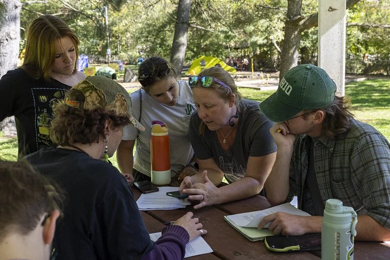
Rural Action’s restoration work near Trimble connects watershed health with community education. Plans for a ten-acre property along Sunday Creek include reforestation, invasive plant removal, and native vegetation restoration. The project offers a local example of restoring floodplain habitat while helping residents understand the value of healthy stream corridors.
Explore Rural Action’s Sunday Creek work →
Connecting Research With Community Preparedness
Ohio University researchers are contributing expertise in watershed management, wetland restoration, and flood resilience to Appalachian communities. Natalie Kruse Daniels has also brought research on streamgage coverage and flood information into AFRC discussions, connecting regional scientific expertise with practical policy needs.
Coalition Connections in Ohio
Ohio River Foundation
Ohio River Foundation protects and improves the Ohio River watershed through habitat restoration, advocacy, and education. Its work connects river health with community stewardship, providing opportunities for residents and volunteers to participate in restoration and learn about the waterways that connect Ohio communities upstream and downstream.
Explore Ohio River Foundation →
Ohio River Valley Institute
Ohio River Valley Institute provides research on economic opportunity and environmental challenges across Ohio and neighboring Appalachian states. Its work with Appalachian Citizens’ Law Center has documented flood-related housing damage and recovery funding gaps in eastern Kentucky. That regional research offers lessons for Ohio communities considering affordable housing, long-term recovery, and investment in safer rebuilding.
Rural Action
Rural Action works with Appalachian Ohio communities to restore watersheds affected by historic mining and other environmental challenges. Its Sunday Creek projects include efforts to reduce acid mine drainage pollution and restore native vegetation. This work provides a local connection between healthier waterways, land restoration, and community participation.
Explore Rural Action’s watershed work →
ReImagine Appalachia
ReImagine Appalachia connects flood resilience with economic opportunity, land restoration, and local employment across the Ohio River Valley. As an AFRC steering organization, it helps advance policies that pair community protection with investment in workers and the region’s future. Its work emphasizes the relationship between environmental restoration and stronger local economies.
Resources for Ohio
Ohio Emergency Management Agency
Provides statewide preparedness information and connections to emergency management services. Residents and community organizations can use its county EMA directory to find local contacts for disaster information and coordination.
Ohio Department of Natural Resources: Floodplain Management Program
Assists communities with floodplain management and participation in the National Flood Insurance Program. The program also coordinates flood-loss reduction efforts and maintains flood information to support local planning and development decisions.
Explains the flood maps and studies used by Ohio communities to identify mapped hazards and administer floodplain requirements. Property owners and local officials can use these resources when discussing flood risk, insurance, and proposed development.
Connects residents with food, housing, utility assistance, transportation, disaster services, and other community resources. Help is free and confidential; residents can call 211 or use the website to find the center serving their county.
Ohio Floodplain Management Association
Provides a professional network focused on flood hazards and floodplain management. Local officials, planners, and practitioners can use the association’s educational resources and professional connections to strengthen their understanding of flood risk reduction.
Provides river education, habitat restoration, and opportunities for community involvement across the Ohio River watershed. Its programs help residents learn about watershed conditions and participate in efforts to protect and restore local waterways.
Help Build a More Flood-Resilient Ohio
Are you working on flood recovery, watershed restoration, housing, emergency preparedness, or community resilience in Ohio? Reach out to us to share your community’s experience, inform policy priorities, and strengthen regional advocacy.